Dense fog kicks off the brand new work week
February 5, 2024 Morning Forecast
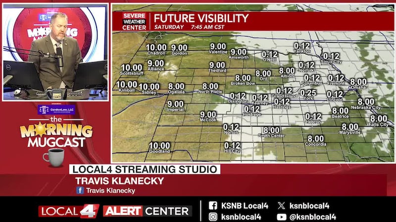
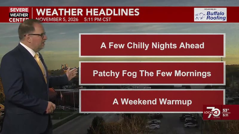
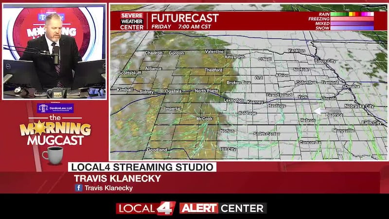
HASTINGS, Neb. (KSNB) - We’re seeing widespread dense fog across the area this morning. This fog could be slow to burn away this morning. While a large part of the area will see this burn away around the middle of the day, I am concerned that some may see this stubborn fog last into the afternoon. This could have a big influence on temperatures for those that experience that. For highs, I’m going mid 40s to mid 50s with the warmest temperatures in the west. But any areas where the fog sticks around into the afternoon, it will likely be cooler than expected. Those that don’t have fog into the afternoon should see a decent amount of sunshine. We’ll probably see some fog redevelop overnight into tomorrow morning. Along with the fog, we’ll see a slight increase in clouds later tonight. Look for lows in the upper 20s and low to mid 30s. I don’t expect the fog to stick around as long tomorrow. We’ll still be seeing partly sunny skies on Tuesday. It’ll be warmer tomorrow thanks to a breezy southerly wind. We should see a more widespread area of highs in the 50s for tomorrow. Look for partly to mostly cloudy skies with lows in the mid 30s to the mid 40s. Wednesday will be the warmest day of the week, but also a very windy day. Look for highs on Wednesday in the mid 50s to the mid 60s. I wouldn’t rule out upper 60s in southwest Nebraska. Winds will be strong out of the south with some gusts to 45 mph.
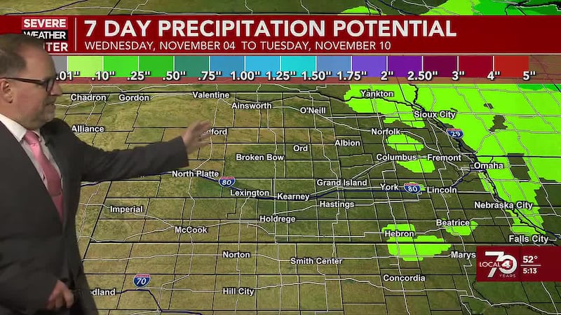
Wednesday night into Thursday, we’ll see the next chance of rain return to the area. This isn’t expected to the like the rain we saw this last weekend. The best chance will be over northern and northwestern areas. Most of us will probably pick up less than a tenth of an inch. No snow is expected in the Local4 coverage area. Thursday will be cooler, buts till mild. Temperature may start to drop in the afternoon as cooler air moves in from the northwest. Look for highs from the mid 40s northwest to the lower 60s southeast. Friday will be a little cooler yet, but mostly dry. Highs will range from the upper 30s north to the low/mid 50s south.
The weekend will be cooler with another system bringing our area a chance of precipitation. As of right now, it looks like much of our area may be missed by any significant moisture. But along with the chance of rain, we may see some snow as well. Highs will be in the 30s and 40s around the area, but could be colder at night when the there’s a little bit better chance of snow. Due to forecast model uncertainty, the chances for moisture remain on the lower side for now.
Click here to subscribe to our KSNB Local4 daily digest and breaking news alerts delivered straight to your email inbox.
Copyright 2024 KSNB. All rights reserved.