Storms expected tonight...Cooler weather ahead
Updated for Severe Thunderstorms Watch..
HASTINGS, Neb. (KSNB) - A SEVERE THUNDERSTORM WATCH has been posted for South-Central and Southeast Nebraska until 7 AM. Storm will redevelop during the last overnight hours and will be capable of 60 mph winds and large hail. Grand Island, Hastings, York , Superior, Lincoln are among the towns included in the watch.

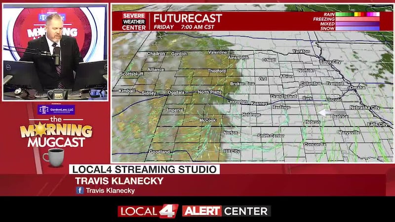
Those storms will push into Iowa followed by a bit of a lull until late tonight after 11 pm. The Tri-Cities area will be more inclusive of thunderstorm activity overnight with a marginal threat for a few storms turning strong to severe. This would be less of a tornado threat, producing isolated areas of damaging winds and hail. The areas we’ll be watching more closely will be along and southeast of roughly a Holdrege to Grand Island to Columbus line.

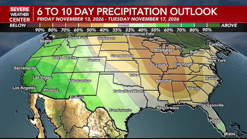
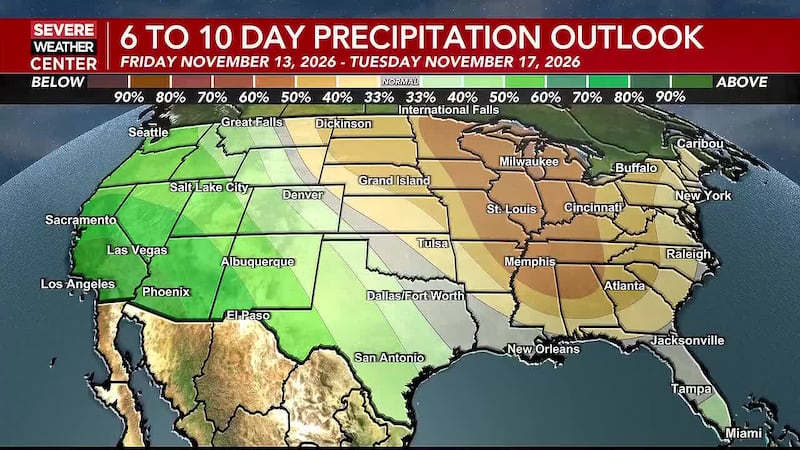
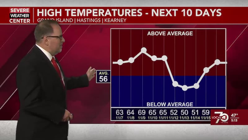
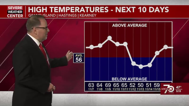
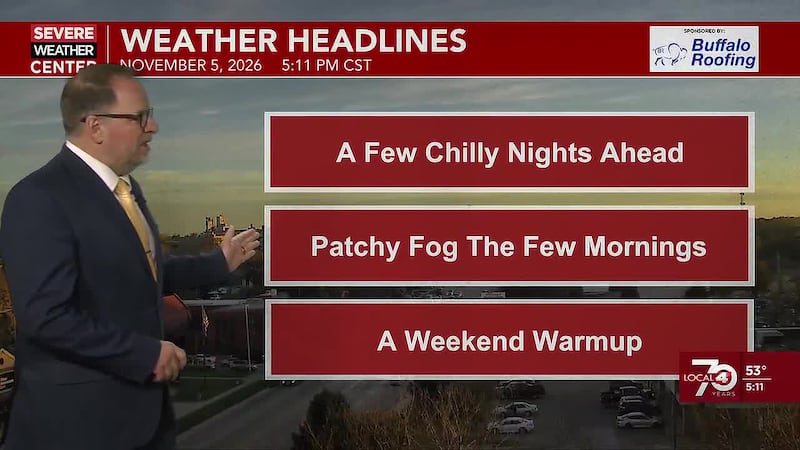
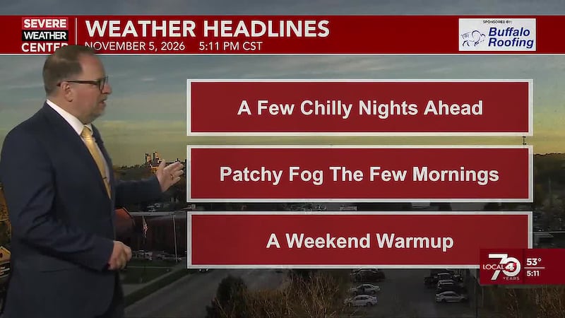
In the wake of this activity, we’ll be seeing cooler weather the rest of the week into Saturday. High temperatures on Thursday will be in the 50s and 60s.

A reinforced shot of cool air will hold afternoon highs Friday and Saturday into the 40s and 50s. Morning lows clouds drop below freezing, producing frost in counties to the north and west of the Tri-Cities by Friday morning. But widespread frost and freezing temperatures will spread throughout the area Friday night- Saturday morning and again Saturday night into early Sunday with lows in the upper 20s.


Copyright 2023 KSNB. All rights reserved.