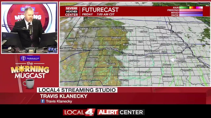
Storms Friday Night but most of the weekend will be dry..
HASTINGS, Neb. (KSNB) - A complex of storms will move out of the High Plains and sweep across mainly the northern areas of Nebraska this evening and overnight. A few tornadoes will be possible in the Panhandle in the evening, but overnight the severe threat will be winds up to 80 mph impacting areas north of I-80 to the South Dakota line. There is some question if storms will build farther south to the Tri-Cities. Grand Island and Kearney are in a slight risk for severe storms while for Hastings the risk will be marginal. A TORNADO WATCH has been expanded to include parts of Northern and West Central Nebraska. North Platte, Broken Bow and Ainsworth are include. Individual storms capable of producing tornadoes may develop in western areas and come together to form a line of storms capable of the aforementioned damaging winds. The Tri-Cities will be on the southern fringe of the wind producing storms, but there remains some uncertainty as to how far south this storms will develop.


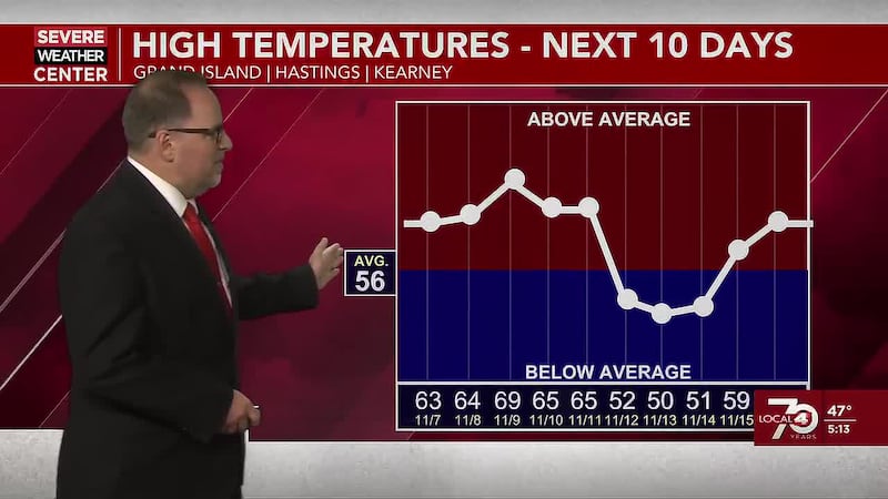
Winds will switch to the west behind a surface trough/front that will push through the Tri-Cities Saturday morning, which could trigger an isolated early morning shower or thunderstorm near the Tri-Cities, but most of the activity will have pushed into Eastern Nebraska and skies will clear from west to east through the morning. Afternoon temperatures will warm into 70s west to the mid to upper 80s with lower 90s southeast. Cooler air will descend into the state late Saturday night.

High temperatures will be modestly ‘cooler’ Sunday as a cold front settles south. Highs will be in the low to mid 80 under sunny skies but it will be windy, with gusts to 40 mph. A series of disturbances will keep small chances for thunderstorms in the forecast next week, as the heat builds back in Wednesday and Thursday.

Copyright 2023 KSNB. All rights reserved.