Cooler air has arrived, but a freeze could be on tap for the end of the week
October 4, 2023 Morning Forecast
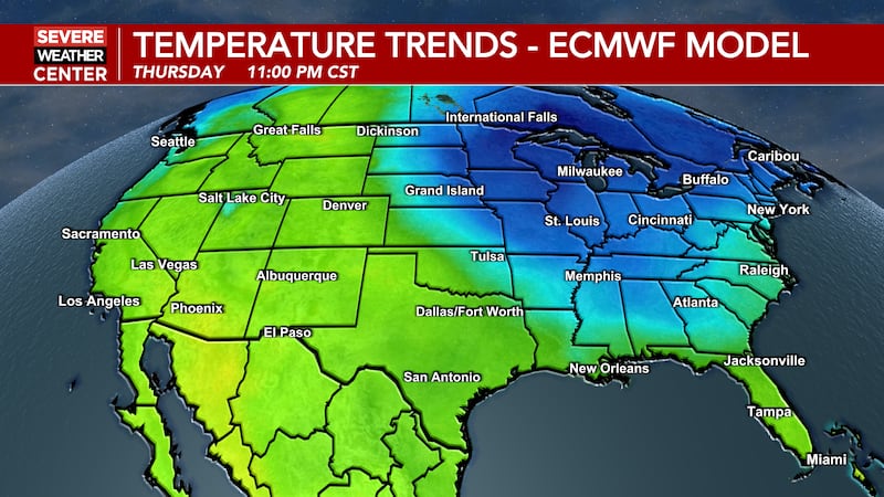
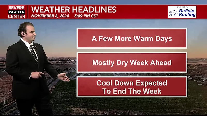
HASTINGS, Neb. (KSNB) - Cooler temperatures are on tap for the rest of this week and into the weekend. Some of the chilliest air will come at the end of the week.
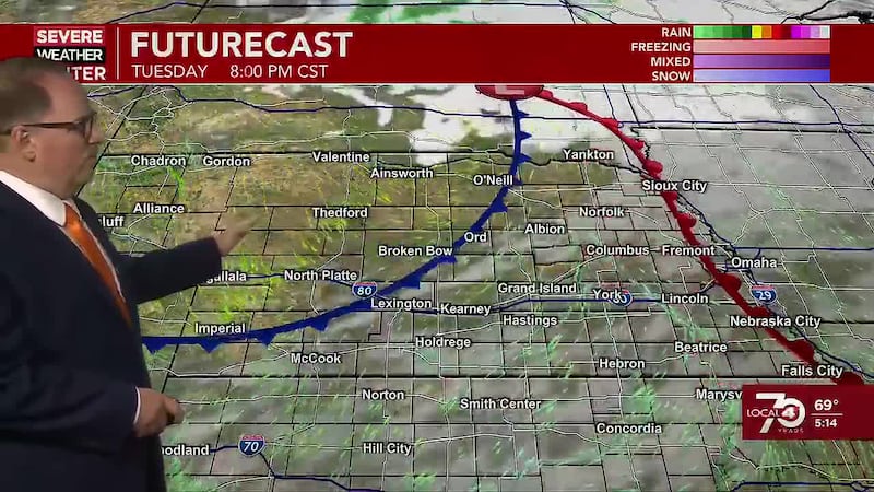
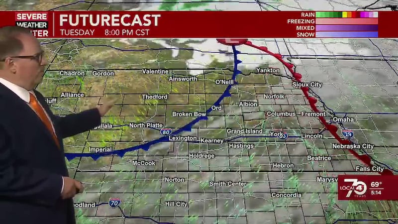
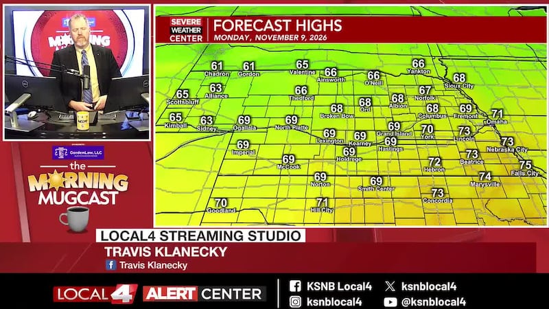
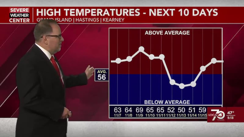
Sunshine has returned this morning, although some partly cloudy skies are expected for a time around the middle of the day over the southeastern half of the area. Winds will be lighter out of the northwest at 5 to 15 mph. High temperatures this afternoon will reach the mid to upper 60s and lower 70s. It’ll be clear this evening with lighter winds, but we’ll see a bit of an increase in clouds later in the night as the next cold front moves in from the northwest. Lows tonight will be in the mid to upper 40s and lower 50s. The early clouds should clear out tomorrow, paving the way for a fairly sunny day. Winds will be breezier out of the northwest behind the cold front. They’ll be up around 10 to 20 mph with gusts to 30 mph. Highs will mainly be in the mid to upper 60s and lower 70s. Cooler air will push in Thursday night. Along with that, another disturbance “may” bring some light showers after midnight. Lows will dip into the mid 30s northwest to the mid 40s southeast. The winds should be strong enough to prevent frost from forming in the northwest. I want to emphasize that the chance of light showers late Thursday night into Friday morning is still a bit up in the air, as forecast models are split. It will be a chilly and windy day on Friday, but adding in some morning showers would make it a worse day. High temperatures on Friday will only be in the 50s. Winds will be strong out of the northwest at 15 to 30 mph with gusts to 40 mph. Sunshine will start to return later in the day. High pressure will build south into our area Friday night, leading to clear skies and lighter winds. This will bring the coldest night of the fall so far. Low temperatures by Saturday morning will range from the mid 20s northwest to the mid 30s east. Frost formation is fairly likely. Many will drop to around or below freezing. A hard freeze (28° or colder) could be on tap for places near and west/north of Broken Bow. It would be a good idea to cover any plants you want to save and possibly drain your underground sprinkler systems for a night.
After the cold morning Saturday, we’ve got some pretty nice weather on tap this weekend. There will be plenty of sunshine and lighter winds. Highs on Friday will mostly be in the 60s with lower 70s possible closer to the Colorado border. Lows Saturday night will be chilly again in the mid to upper 30s and lower 40s. Sunday should be absolutely amazing with highs from the upper 60s northeast to the upper 70s southwest. Monday may be a touch cooler with highs from the mid 60s northeast to the mid 70s southwest. Warmer temperatures are expected Tuesday and Wednesday with highs into the mid 70s to the mid 80s. The next shot at precipitation and cooler air will be possible after Wednesday.
Copyright 2023 KSNB. All rights reserved.