Mild fall temperatures along with more rain chances later this week
October 27, 2026 - Evening forecast
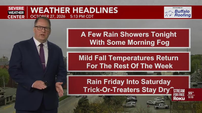
HASTINGS, Neb. (KSNB) - Good Tuesday evening all! After a cool day today, temperatures warm up above average for the rest of the week. The other thing that will be going up is the rain chances later this week.
This Evening/Overnight: There is a slight chance of rain for Central and Eastern Nebraska (North Central Kansas) this evening and overnight. Skies later in the night look to be partly cloudy in the southeast. For the rest of the area, more low clouds, areas of fog, and drizzle are all possible. Temperatures will be milder this morning as low temperatures range from the mid 40s northwest to the upper 50s southeast.
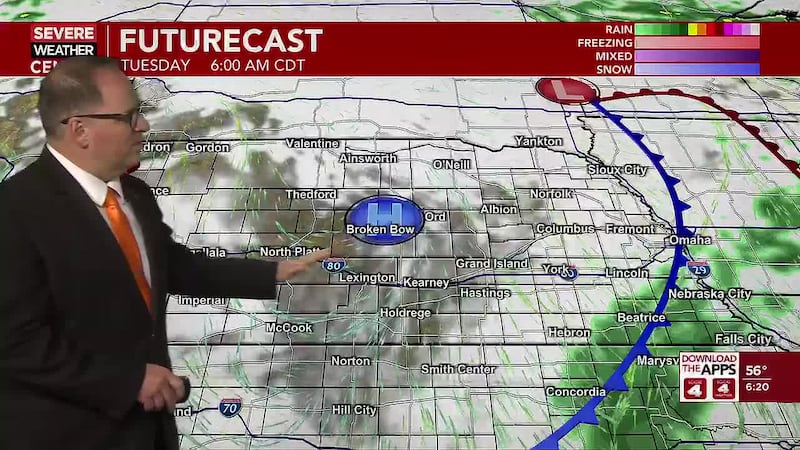
Wednesday and Thursday: Wednesday will be a warmer day, despite a cold front pushing southeast across the area through the day. The clouds could hold tough through the morning. The best chance at some sun will be southeast and then behind the cold front, skies will be clearing from northwest to southeast. High temperatures look to range from the low/mid 60s northwest to the upper 70s/lower 80s southeast. Ahead of the front, winds will become breezy out of the south. Behind the front, winds will turn more southwesterly. Late in the day and into the evening, a few showers are possible near the front in Southeast Nebraska. The rest of the area will remain clear with lightening winds overnight. Low temperatures will be cooler from the mid 30s northwest to the lower 50s southeast.
Thursday could be one of the overall nicest days ahead the rest of this week. Many will be a little cooler, but more sunshine and less wind could mean a very nice fall day. Highs look to be in the 60s with a few lower 70s in the southeast.
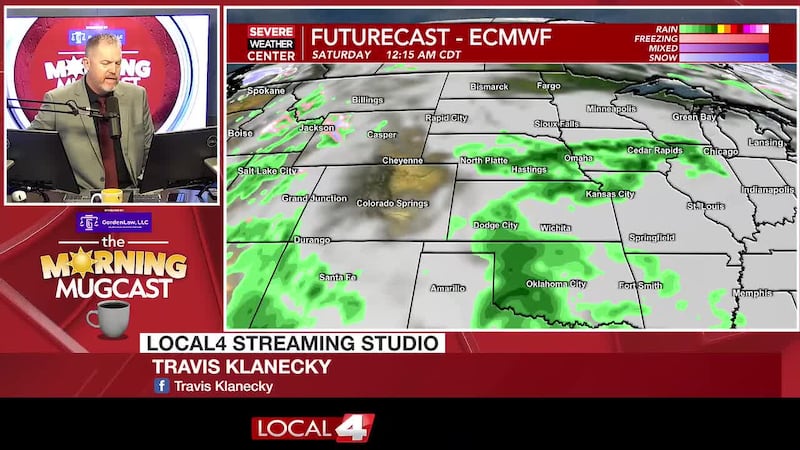
Friday and Saturday: Late Thursday night into Friday, rain chances will start to return to the area. Friday brings a decent chance of showers and isolated thunderstorms. These will continue into Friday night and perhaps Saturday morning. But as Saturday goes along, chances for rain will get lower. So only a small chance of rain is expected later in the day on Halloween. The best chance may be over southeastern area later Saturday. Despite the rain and extra clouds around, temperatures don’t look terribly cool. High temperatures on Friday look to range from the around 60° north to the lower 70s southeast. Saturday will be a big cooler, but highs still mostly look to be in the upper 50s to the mid 60s.
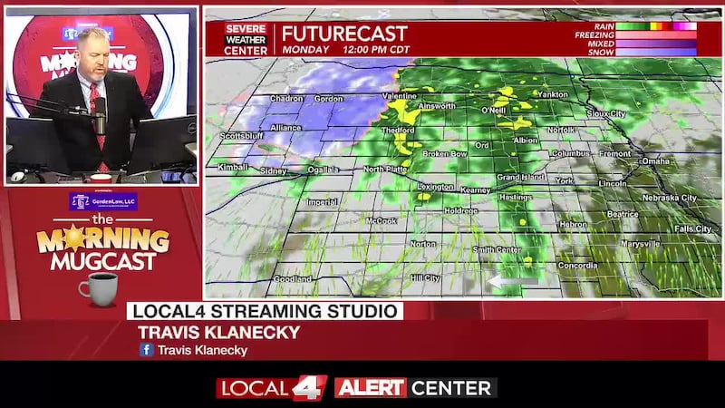
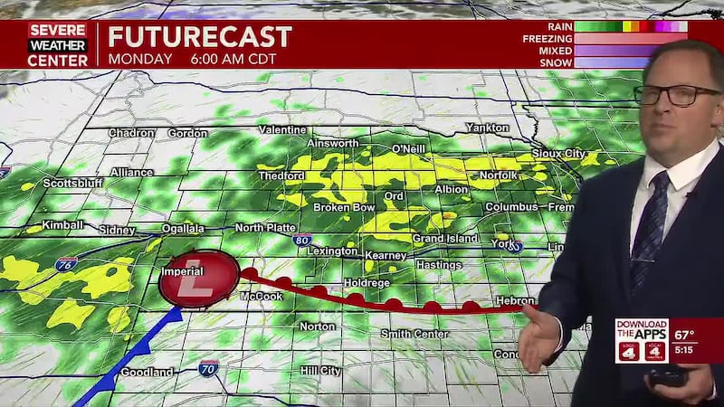
Sunday and Beyond: As the day goes on Sunday, rain chances will increase. But for most, much of the daytime currently looks dry. Highs look to range from the upper 50s northwest to near 70° southeast. Rain chances quickly increase Sunday night into Monday. This is looking to be a very good chance of rain. The biggest question from there is how long does the rain last. That remains uncertain. Cooler temperatures will settle in for a few days, but may start to warm a little by the end of next week.
Click here to subscribe to our KSNB Local4 daily digest and breaking news alerts delivered straight to your email inbox.
Copyright 2026 KSNB. All rights reserved.