Mild for a couple more days ahead of a late week cool-down
November 10, 2026 Morning Forecast
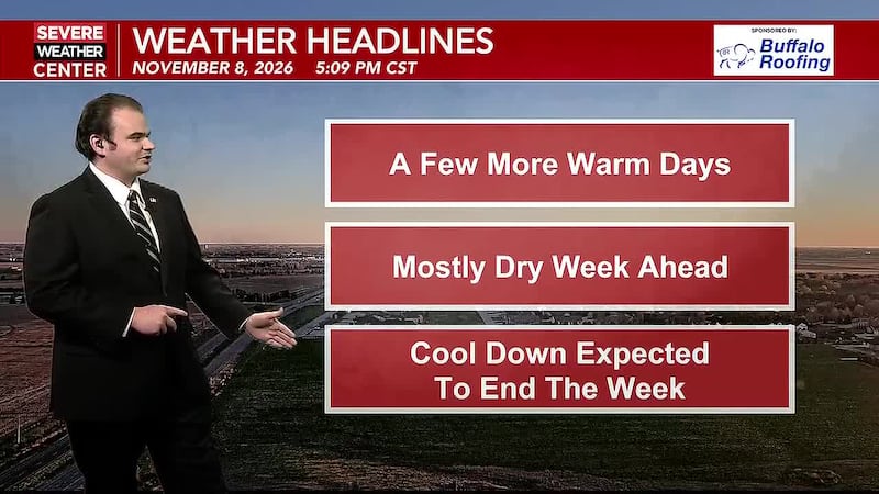
HASTINGS, Neb. (KSNB) - Temperatures continue to be above average for the next couple of days, but it will get a bit colder at the end of the week. Milder weather returns next week, but the end of next week could turn much more interesting.
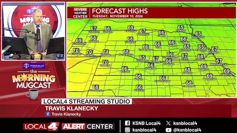
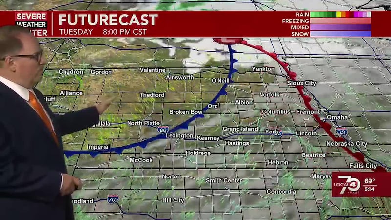
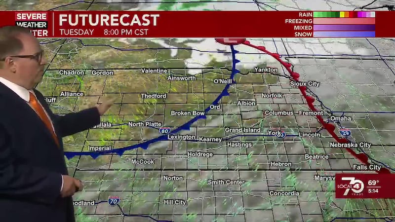
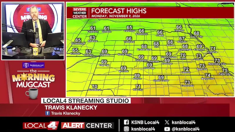
Tuesday and Wednesday: While a chilly start, a good amount of sunshine will help give us another boost in temperatures. Highs today look to get back up into the mid to upper 60s for most of the area. There could be a few lower 70s near the Colorado border. Look for a few more upper level clouds later today to bring a little filtered sunshine, but I can’t see skies getting much worse than partly sunny. Another cold front passes through this evening with little fanfare. Outside of a few clouds, skies remain clear. Winds will pick up a little behind the cold front as they turn northwesterly. That will keep temperatures up. Lows over the western third of the area will dip to the mid to upper 30s. Central and eastern areas will remain in the 40s. Wednesday will be another mild day with highs into the upper 50s northeast to the upper 60s west/southwest. Winds will be breezy out of the northwest at 10 to 20 mph with gusts to around 30 mph. A backdoor cold front will push in from the northeast Wednesday night. This will bring a shot of some chillier are for the end of the week. Lows Thursday morning will dip down to the upper 20s and low to mid 30s.
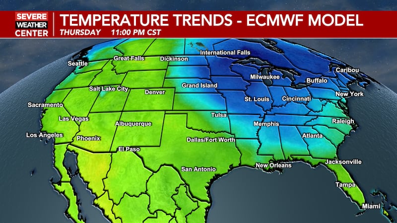
Thursday through Sunday: Chillier air moves in from the northeast, but won’t impact areas farther west right away. High temperatures on Thursday will range from the lower 40s northeast to the low/mid 60s west. Thursday night will be a colder night with lows down into the mid to upper 20s and lower 30s. Friday will be chillier for most of the area with lows from the lower 40s northeast to the mid 50s west. Saturday brings a few more clouds with highs mostly in the upper 40s and lower 50s.
One of the changes to the forecast is to add in a slight chance of some light rain to the forecast for Sunday. Chances favor those in the south more than those in the north. Temperatures will come up a little with highs mostly in the low to mid 50s.
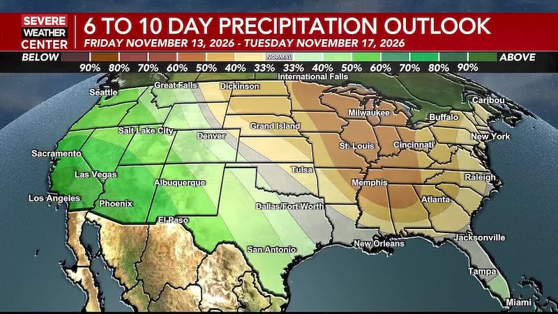
Monday and Beyond: Temperatures trend a little above average most of next week. Much of the week will feature highs in the mid to upper 50s and lower 60s. A system could potentially bring a little moisture around the Wednesday/Thursday timeframe. But going into next weekend, which is the weekend before Thanksgiving, long range models are trending toward a more powerful storm system that could bring a variety of weather across the area. As we get closer, we may need to start paying more attention to that time period. Stay tuned.
Click here to subscribe to our KSNB Local4 daily digest and breaking news alerts delivered straight to your email inbox.
Copyright 2026 KSNB. All rights reserved.